Training in Geospatial Analysis of Disease Vectors Workshop
Biotechnology Research Institute (BRI) in Muguga, Kenya
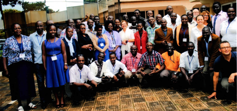
The workshop “Training in Geospatial Analysis of Disease Vectors” was held from June 1, 2015 to June 5, 2015 at the Biotechnology Research Institute (BRI) in Muguga, Kenya. This effort was part of an NIH – Fogarty Institute training grant (PI Aksoy, Caccone, Murilla) designed to strengthen capacity in biomedical research, including geospatial analysis of disease vectors. BRI has a mandate to carry out research and develop technologies for effective control of tsetse and trypanosomiasis in the country and this workshop introduced several technologies that can be applied to these issues.
The goal of the workshop was to introduce participants to Geographic Information Systems (GIS), satellite-based remote sensing, and ecological modeling. Students used the provided suite of open-source software to manipulate GIS data and satellite images to create basic species habitat models. There was a special focus on identifying and mapping tsetse fly habitat.
The Yale Institute of Biospheric Studies was instrumental in making this happen, with members of two Centers and one Program participating in this workshop. Gisella Caccone, Director of the Center for Genetic Analyses of Biodiversity, organized the workshop, gave foundational lectures on trypanosomiasis and tsetse flies, and provided support and encouragement to the other instructors.